How Does GPS Know Your Exact Location?
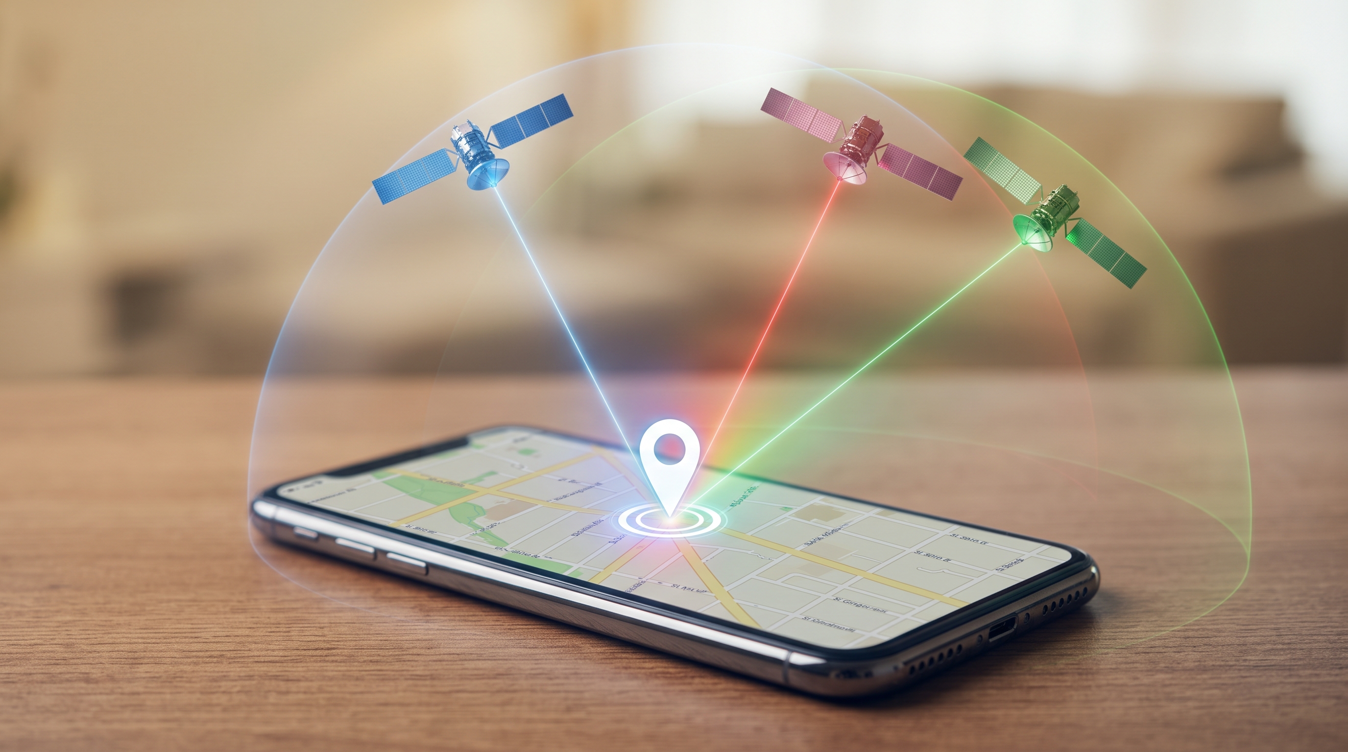
GPS seems almost magical. You open a map on your phone, and within seconds it shows exactly where you are. But how does your phone know your location when there is no mobile signal?
The answer is a network of satellites orbiting Earth.
GPS, or Global Positioning System, determines your location by receiving signals from multiple satellites in space. These satellites continuously send signals containing information about their position and the exact time the signal was transmitted.
Your smartphone receives these signals and calculates how far away each satellite is. The calculation is based on a simple idea: the longer a signal takes to reach your phone, the farther away the satellite is.
Why Does GPS Need Several Satellites?
One satellite can tell your phone that you are somewhere within a large area around that satellite. But that is not enough to determine an exact position.
When your phone receives signals from several satellites, it can compare the distances and find the point where those measurements intersect.
For normal positioning, GPS receivers typically use signals from at least four satellites. This allows the device to determine your position in three dimensions—latitude, longitude and altitude—and also correct the receiver's internal clock.
Does Your Phone Need the Internet for GPS?
Not necessarily.
The basic GPS system can determine your location without Wi-Fi or mobile data. However, smartphones often combine GPS with other technologies, such as Wi-Fi networks, mobile towers and sensors, to find your location faster and improve accuracy.
This is why your location can sometimes appear almost instantly when you open a navigation app.
Why Isn't GPS Always Perfect?
GPS accuracy can change depending on your surroundings.
Tall buildings, mountains, trees and even atmospheric conditions can affect satellite signals. Inside buildings, underground areas or places surrounded by high structures, your phone may have difficulty receiving a strong signal.
Modern smartphones also use additional positioning systems and sensors to improve location accuracy.
A Tiny Clock Difference Matters
There is another fascinating part of GPS technology: time must be extremely precise.
GPS satellites carry highly accurate atomic clocks. Even a tiny timing error can create a significant location error because GPS signals travel at the speed of light.
By comparing the arrival times of signals from different satellites, your phone can calculate the distances needed to determine your position.
GPS Is More Than Just a Blue Dot
Every time you use navigation, check the weather in your area or share your location, your smartphone is performing complex calculations involving signals traveling thousands of kilometers through space.
What looks like a simple blue dot on a map is actually the result of satellites, precise timing, mathematics and several positioning technologies working together.
And that is how your phone can know where you are on Earth within seconds.